You’re trundling through an English village, past a leaning pub and a church tower, when the tarmac suddenly pinches into a straight, uncompromising strip that slices across open fields as though it’s heading somewhere precise.
It ignores property lines and newer developments. It keeps its course-long, level and insistent-while later lanes curl away beside it like anxious companions.
That odd sensation-the sense the road is following a plan you haven’t been told-is exactly what teams of British historians and archaeologists have been tracking for years. Using drones, medieval charters and frankly heroic patience, they’re showing how ancient infrastructure still dictates how we drive, commute and lose our way across England.
And one finding keeps resurfacing, mile after mile.
Where Roman logic still meets the rush hour
Stand on the verge of the A5 near Towcester and, for a moment, try to tune out the lorries. Under the noise there’s a curious calm to the view. The carriageway aims like an arrow from horizon to horizon-almost perfectly straight, except where later hands have nudged it. As historians point out, you’re looking at close to the original line of Watling Street, a Roman road that once carried legionaries, tax officials and merchants.
The surface is contemporary and the white lines are crisp. But the decision about where this route should run was made nearly 2,000 years ago by engineers in sandals. They prioritised speed, control, and access to forts and ports. In the present day, that same alignment steers commuters towards distribution depots and warehouses. The reasoning is largely unchanged-only what’s being carried has altered.
Once you look at a map, the pattern becomes hard to miss. Ermine Street, now echoed by the A10 and the A1, pushes north out of London. The Fosse Way, shadowed by the A46, still links Lincoln, Leicester, Cirencester and Exeter along a diagonal no modern planner in Whitehall would sketch from scratch. People sometimes quip that the Romans built roads with a ruler and a grudge; in reality it was straightforward engineering.
They were tackling an issue that hasn’t disappeared: moving people and goods quickly without sinking into mud-or being stalled by politics. Even with by-passes and ring roads, modern England keeps returning to those early choices. That’s not nostalgia; it’s practicality. Replacing the lines wholesale would cost a fortune and rip through hundreds of communities.
Researchers often describe this as “infrastructural inertia”: once a route exists, it attracts buildings, markets, services and routines. Shifting a road doesn’t merely relocate traffic; it tugs at the fabric of people’s lives. That’s why, when motoring surged in the 20th century, so many Roman alignments were improved rather than deserted. Councils widened stretches, straightened a bend here, softened a gradient there-yet the ancient framework remained.
From satellite imagery, the effect can feel uncanny. A bright modern artery sits almost exactly where a dusty Roman road once ran-separated by time, not by place. It’s easy to imagine centuries layered beneath your tyres.
How to spot the ghosts under the asphalt
There’s a quiet excitement in realising the road to your supermarket may once have led to a Roman fort. Historians-and enthusiastic map obsessives-have turned that curiosity into a method most people can try. First, ignore the satnav for a moment and open an online map that shows both roads and relief. Zoom out far enough to see the route’s overall behaviour, not just the next junction.
Roads influenced by Roman alignments often act like stubborn guests. They hold a straight line over hills, cut diagonally across patchwork fields, and run for implausibly long, direct distances between settlements. Trace the A37 in Somerset or the A30 in the south-west on screen and you’ll spot those unwavering sections that pay no attention to the cosy curves of hedgerows. When you see that, historians suggest, you may be following a very old decision about movement-where, and for what purpose.
The next step is to stack time periods. Old Ordnance Survey maps-Victorian sheets are now widely digitised-show alignments from before motorways, by-passes and suburban crescents muddied the view. Compare those with aerial photography and patterns of persistence start to appear: a lane that matches a Roman line precisely in one place, a parish boundary that clings to an ancient track elsewhere. It’s surprisingly moreish on a rainy Sunday.
At ground level, small clues can give the game away. A road sitting on a slight embankment above surrounding fields. A repeating run of villas, former coaching inns or milestone-like stones, now half-lost in nettles. Even place names mutter hints: “Street”, “Stratford”, “Stretton” often point to older paved routes-frequently Roman. People have been interpreting these signs for centuries, even when they weren’t sure what they were reading.
Of course, most drivers don’t have the headspace to decode all this on the school run. Let’s be honest: nobody truly does this every day. Yet historians argue you only need occasional, regular glimpses. Notice the one unyieldingly straight stretch you always take to work. Register the Roman villa on the brown tourist sign you normally ignore. Little by little, the story assembles itself-one commute at a time.
What often catches people out is how readily medieval and later roads kept faith with these ancient lines. It wasn’t reverence; it was convenience. Reusing a drained, raised, familiar way was easier than carving a new route through clay and competing interests. A legionary road becomes a drovers’ track, then a coaching turnpike, then an A-road with speed cameras and service stations. The skeleton stays; the skin changes.
What this changes in the way we look at traffic, planning and home
Urban historians argue that, once you treat roads as inherited artefacts, everyday congestion looks different. That maddening pinch-point at the edge of town? In many places it exists because the original path was never meant for heavy volumes. It may have started as a drovers’ lane that was widened bit by bit, or a Roman approach to a gate that has long since vanished.
Engineers can redraw roundabouts and add extra lanes, but they often have to operate within a landscape of ownership shaped by centuries of strips and boundaries. Moving a major road even a few metres can trigger years-sometimes decades-of legal and social negotiation. So you get compromises: a bypass that awkwardly skirts an old high street; a dual carriageway that abruptly narrows as it funnels towards a medieval bridge that won’t quietly step aside.
This way of seeing also unsettles the idea that infrastructure is “neutral”. Roads aren’t simply grey lines that benefit everyone equally. They’re decisions made at particular moments, locking in some flows and shutting down others. When the Romans drove Watling Street through the landscape, they linked forts and ports useful to an empire. When Georgian turnpike trusts improved those corridors, they favoured trading towns able to pay tolls. Today a logistics hub thrives partly because it sits on the same powerful line.
For some communities, that continuity feels like good fortune: quick access, strong links, investment. For others, it can feel like living inside a noisy, polluted corridor-because someone 2,000 years ago preferred straightness. The past doesn’t just sit in museums; it vibrates through bedroom windows at 3 am as the sound of heavy haulage.
How historians actually trace those hidden layers (and how you can join in)
Ask researchers at Historic England or in university archaeology departments how they map this hidden network and the first answer is surprisingly analogue. They begin with documents: Saxon charters, medieval estate plans, early road surveys. Many of these mark “streets” and “ways” that don’t quite match today’s lanes-like offset shadows of the modern network.
After that comes digital sleuthing. Lidar surveys from aircraft can remove trees and buildings to expose faint ridges and ditches beneath. A barely-there linear embankment across fields may line up perfectly with a modern B-road half a mile away. Combine enough of those hints and an older route starts to materialise. What was dismissed as a “farm track” begins to look suspiciously like a surviving fragment of a major Roman artery.
The tools are now so available that citizen historians have become a meaningful part of the process. Local history groups and solo enthusiasts study free lidar datasets at home and share discoveries online. Someone on a forum notices a Northamptonshire bridleway aligning with the A5, then continuing as a raised strip through a small copse. A professional archaeologist joins in, checks excavation records, and suddenly a plausible Roman connection is being discussed.
That collaborative energy has shifted road history from dusty to almost playful. One historian told me,
“We used to think of roads as something planners impose from above. Now we see them as conversations across centuries, and everyone’s invited in.”
And that “everyone” increasingly includes drivers who simply like the idea that their daily route has a backstory. A handful of easy habits can help:
- Find the Roman road network near your postcode and set it beside your usual journeys.
- Once a month, use lidar or satellite layers to follow one suspiciously straight road further than you normally go.
- Sign up for a local history walk focused on old tracks and turnpike routes.
- Watch for place names containing “street”, “ford”, “gate” or “causey” as you drive.
- Share photos of odd embankments or unusually straight hedgelines with local heritage groups.
On a human level, this slow attention does something subtle. A road you’ve always sworn at as “that dreadful A-road” can suddenly look like a long spine of movement stretching back to the Iron Age. It doesn’t make you forgive the traffic; it just lets you see yourself as one frame in a very long reel of travellers.
The quiet shock of realising your driveway sits on an empire’s footprint
Once you recognise these patterns, you can’t quite unlearn them. A casual drive to see friends in another county feels different when you know you’re following a line cattle once took to market, or soldiers once marched in hobnailed boots. On a foggy morning, the road’s straightness can seem startlingly deliberate: someone, long ago, imposed order on a rougher landscape.
That insight can feel oddly personal. People discover their estate backs onto a former turnpike, or that the ring road thundering beyond their fence traces the edge of a Roman marching route. The “priorities” embedded in the land-who got connected, who was bypassed-start to feel less like faceless modern planning and more like layered decisions accumulating over millennia.
It also raises a question about our own era. Will future historians trace the M1 or the M25 with the same blend of admiration and irritation we reserve for Roman engineers? Will our distribution centres read as their “forts”, our service stations as their coaching inns? It’s an uneasy thought-especially when you’re stuck on yet another delayed journey, watching brake lights glitter in the drizzle.
Everyone knows England is “old” in the postcard sense-castles and cathedrals. What this newer wave of research shows, steadily and without fuss, is that the age runs underneath the wheels. The school run, the late-night taxi, the delivery van crossing counties: all are travelling along choices made by people who never imagined traffic lights or satnavs, yet cared intensely about speed, access and control.
On paper it looks like neat geometry. On the ground it’s messier: habits, histories and power that outlived empires. Next time your navigation app serenely instructs you to “continue straight for 27 miles”, you might pause and think of the surveyors who first forced that straightness across bog and scrub.
That flash of awareness won’t fill the potholes. But it can make the journey feel less accidental. Beneath the tyre hum there’s another sound-older and quieter-of feet, hooves, iron wheels, and decisions that refuse to let go.
| Key point | Detail | Why it matters to the reader |
|---|---|---|
| Persistence of Roman routes | Major A-roads such as the A5 and A46 closely follow ancient Roman alignments including Watling Street and the Fosse Way. | Helps readers understand everyday journeys as part of a much longer historical story. |
| Simple methods to spot ancient lines | Use straightness on maps, lidar imagery, old Ordnance Survey maps and place names to track hidden infrastructure. | Offers practical ways to turn any drive or walk into a small historical investigation. |
| Impact on modern life and planning | Historic routes influence bottlenecks, development patterns, and which towns thrive or are bypassed. | Makes current transport frustrations feel less random and easier to understand. |
FAQ:
- Are all straight roads in England Roman? Not at all. Some straight routes are medieval, Georgian turnpikes or even Victorian estate roads, but many reused or mimicked earlier Roman lines.
- How can I tell if my local road follows a Roman route? Compare its line to published maps of Roman roads, look for long straight segments and check old Ordnance Survey maps for names like “Street” or “Roman Road”.
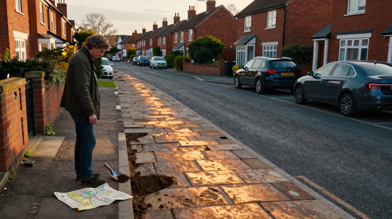
- Do historians ever dig up modern roads to prove these links? Excavations usually happen during roadworks or development. When trenches cross suspected routes, archaeologists sometimes find Roman metalling or roadside ditches beneath the asphalt.
- Why didn’t modern planners just design entirely new road networks? Cost, land ownership and habit. Existing routes already had legal rights of way, services and settlements built around them, making reuse far more practical than starting from scratch.
- Can I get involved in researching ancient roads? Yes. Many local archaeology and history groups welcome volunteers, and free online lidar and map tools let you explore alignments and share finds with professionals.


Comments
No comments yet. Be the first to comment!
Leave a Comment